Omaha l Utah
 This
is a map over Omaha beach, scanned from Stephen Ambrose book "D-Day".
I've added 3 numbers, this is to know were the photo is taken from. This
image is open in another window so you can look at the map and see the
picture at the same time. (If you have a high resolution on you screen).
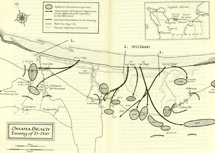
This
is a map over Omaha beach, scanned from Stephen Ambrose book "D-Day".
I've added 3 numbers, this is to know were the photo is taken from. This
image is open in another window so you can look at the map and see the
picture at the same time. (If you have a high resolution on you screen).
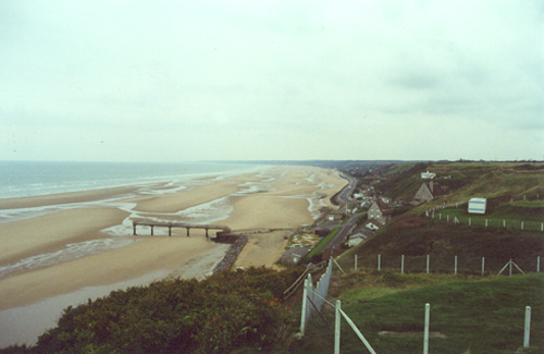
This is a view over Omaha beach, Vierville. (Point nr 1 at the map).
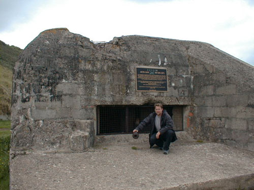
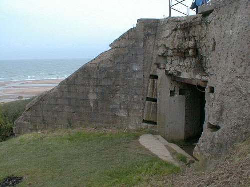
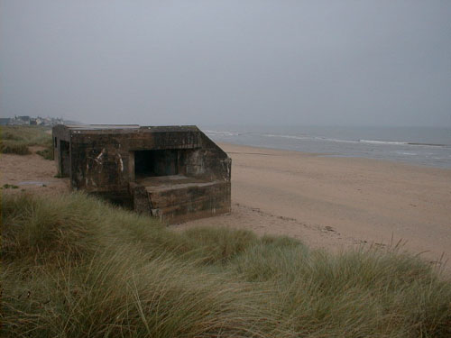
A pillbox, St Laurent. (Point nr 2 at the map).

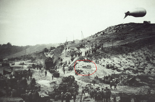
This is
a picture from 1944 and here you can see the pillbox above in the red
circle.
Same area as above, but this picture is taken from the beach.
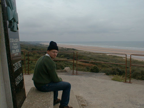
Mårten sitting on a monument at Omaha beach, Colleville sector.
(Point nr 3 at the map).
 Same
area as above. (Point nr 3 at the map).
Same
area as above. (Point nr 3 at the map).
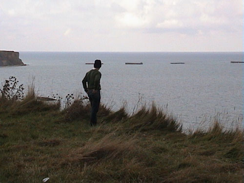 Mårten
looking over the artificial port in Arromanches-les-Bains
Mårten
looking over the artificial port in Arromanches-les-Bains
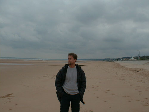 Me
looking over Utah beach
Me
looking over Utah beach
 A
pillbox on Utah Beach
A
pillbox on Utah Beach